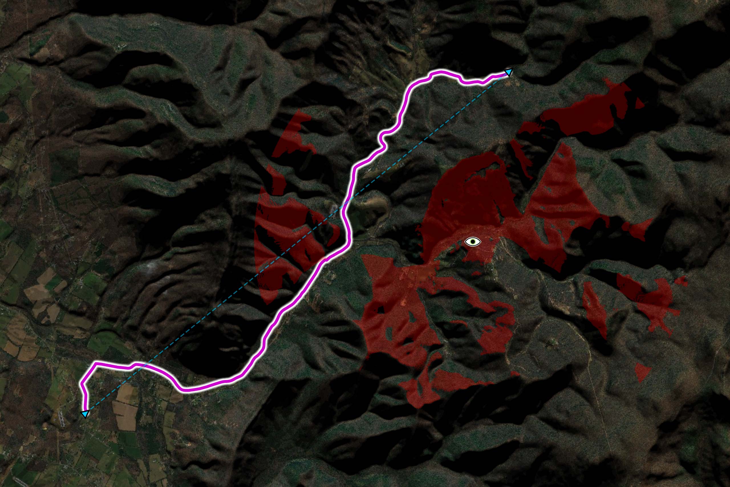
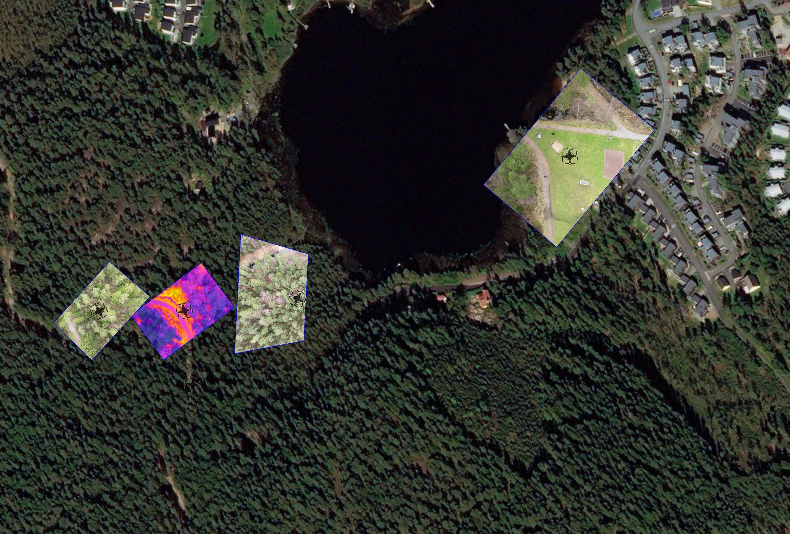
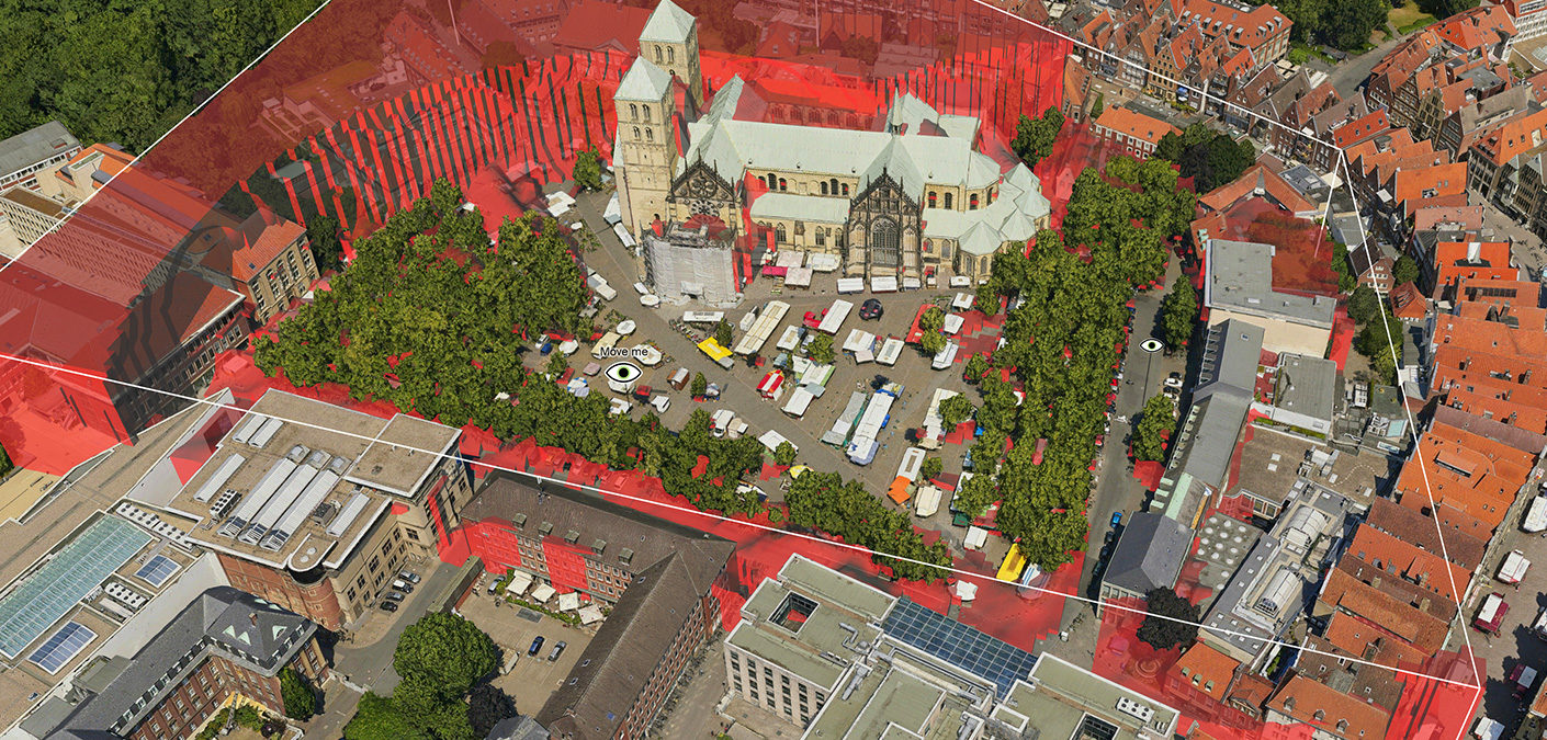
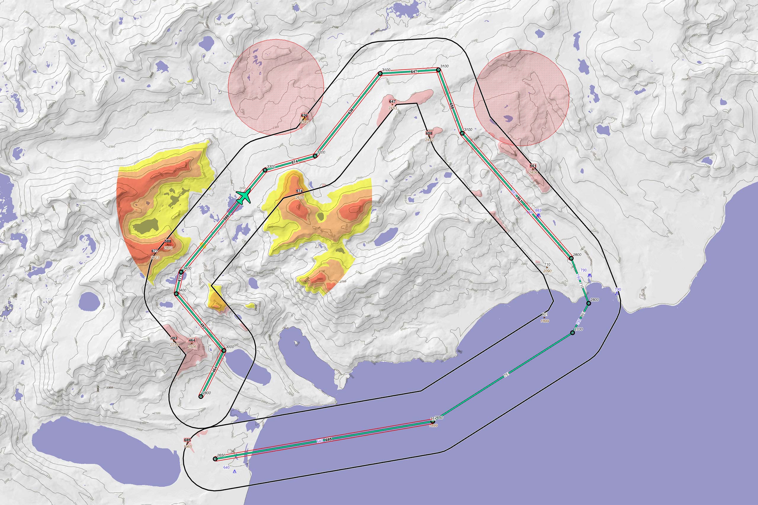
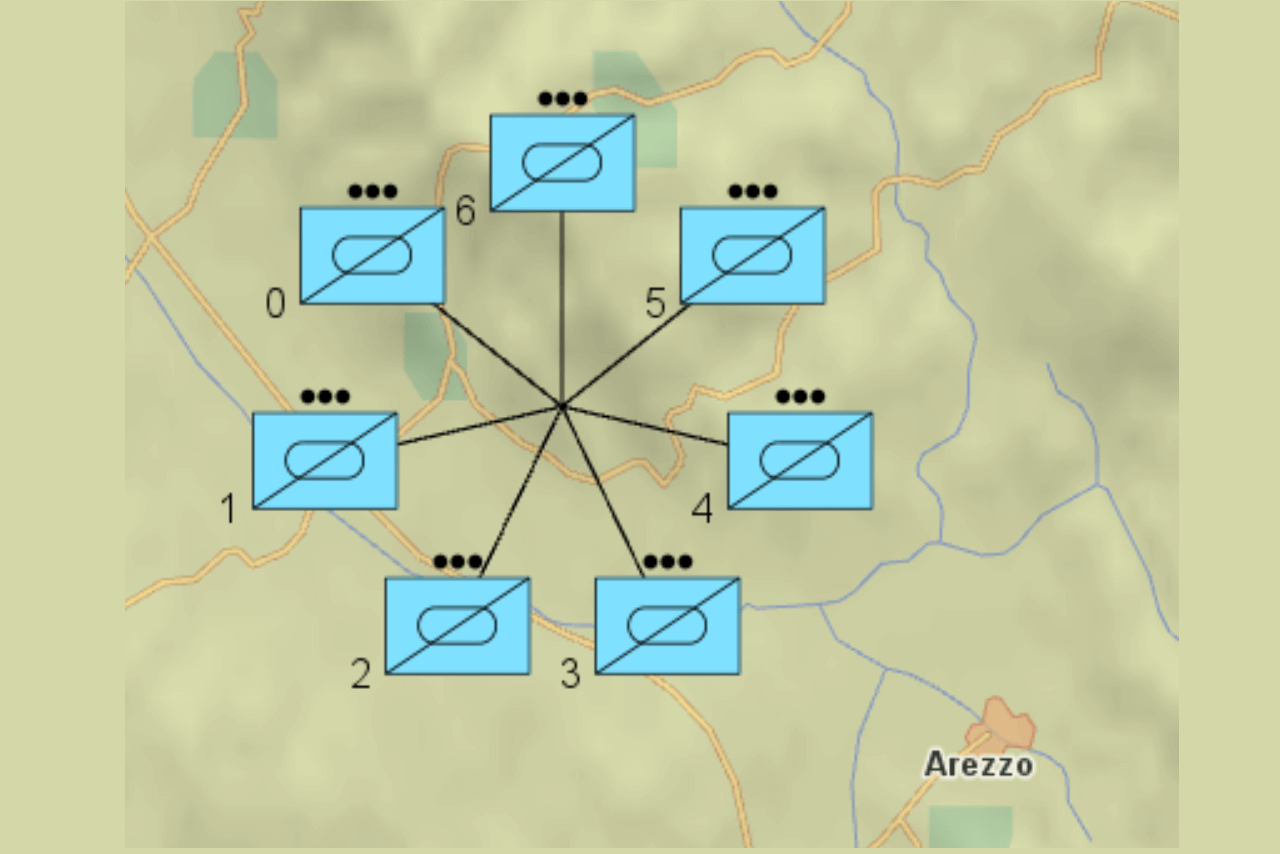
UAS Mission Planning
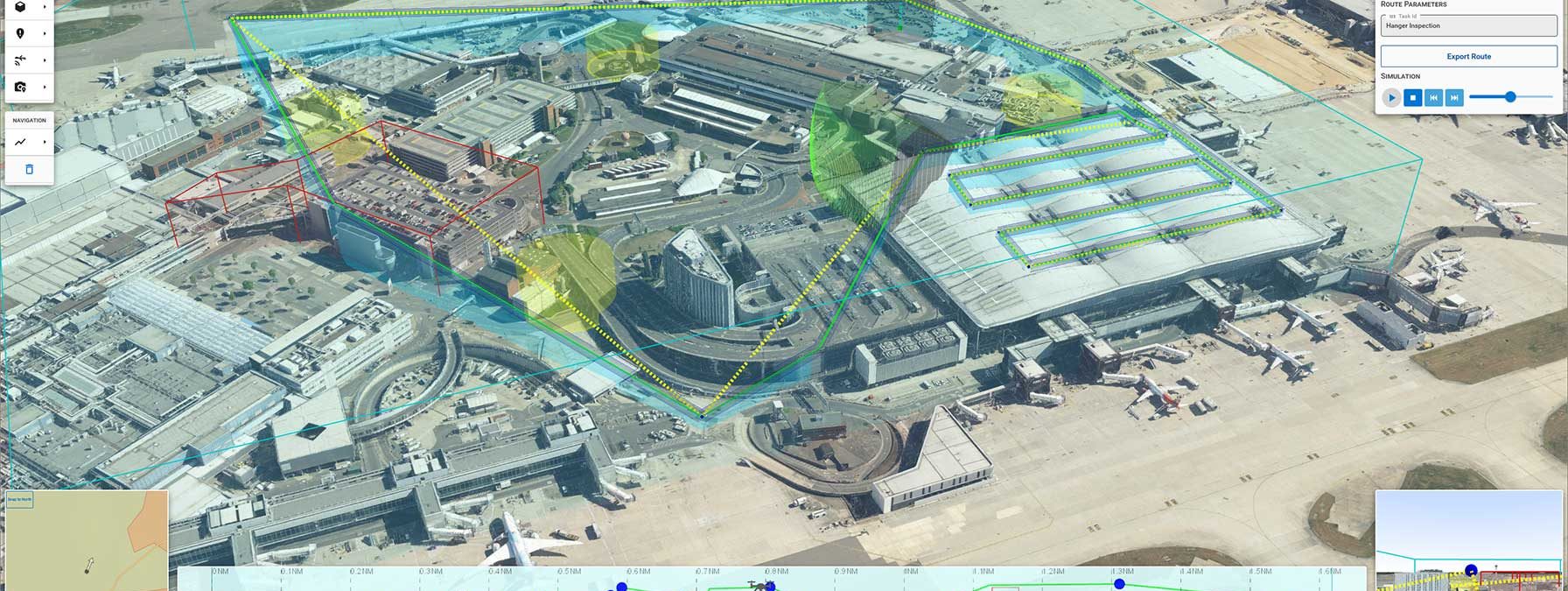
Geospatial technology that empowers you to see more, know more, and make better decisions – in real time.
Our software development kit (SDK) offers the freedom and flexibility to create powerful geospatial applications to efficiently visualize and analyze geospatial information.
Whether you are developing solutions for air, sea, or land – Carmenta technology is deployed and trusted in systems across the world.
Deployed in some of the most demanding environments across the world.
Trusted and long-term partner to world-leading system integrators and system providers.
Unwavering dependability and cutting-edge analysis in our customers’ most critical systems and operations.
Outstanding flexibility with cross-platform support and support for 100+ data formats.
Learn how to create a custom tool in Carmenta Engine to decluster overlapping features. Step-by-step C# tutorial with code examples.
Read more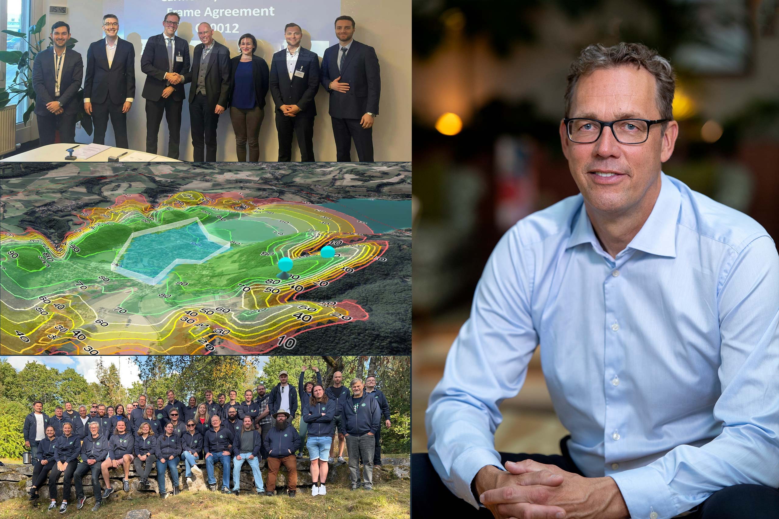
Heading into 2026, what are the dynamics that are driving the need for advanced geospatial technology in the defense and public safety industries?
Read moreWe're proud to have been selected to host the speech "Uncrewed Military Mobility Across All Domains - From Sea to Land to Air" at XPONENTIAL Europe in March.
Read more


Designed for web-based solutions, mobile apps and traditional applications.
Subscribe to our newsletter to receive:
Sign up today to get the latest geospatial technology updates and insights!
We’d love to hear from you! Whether you have questions, need support, or want to learn more about our solutions, our team is here to help.