Geospatial Data from Any Source
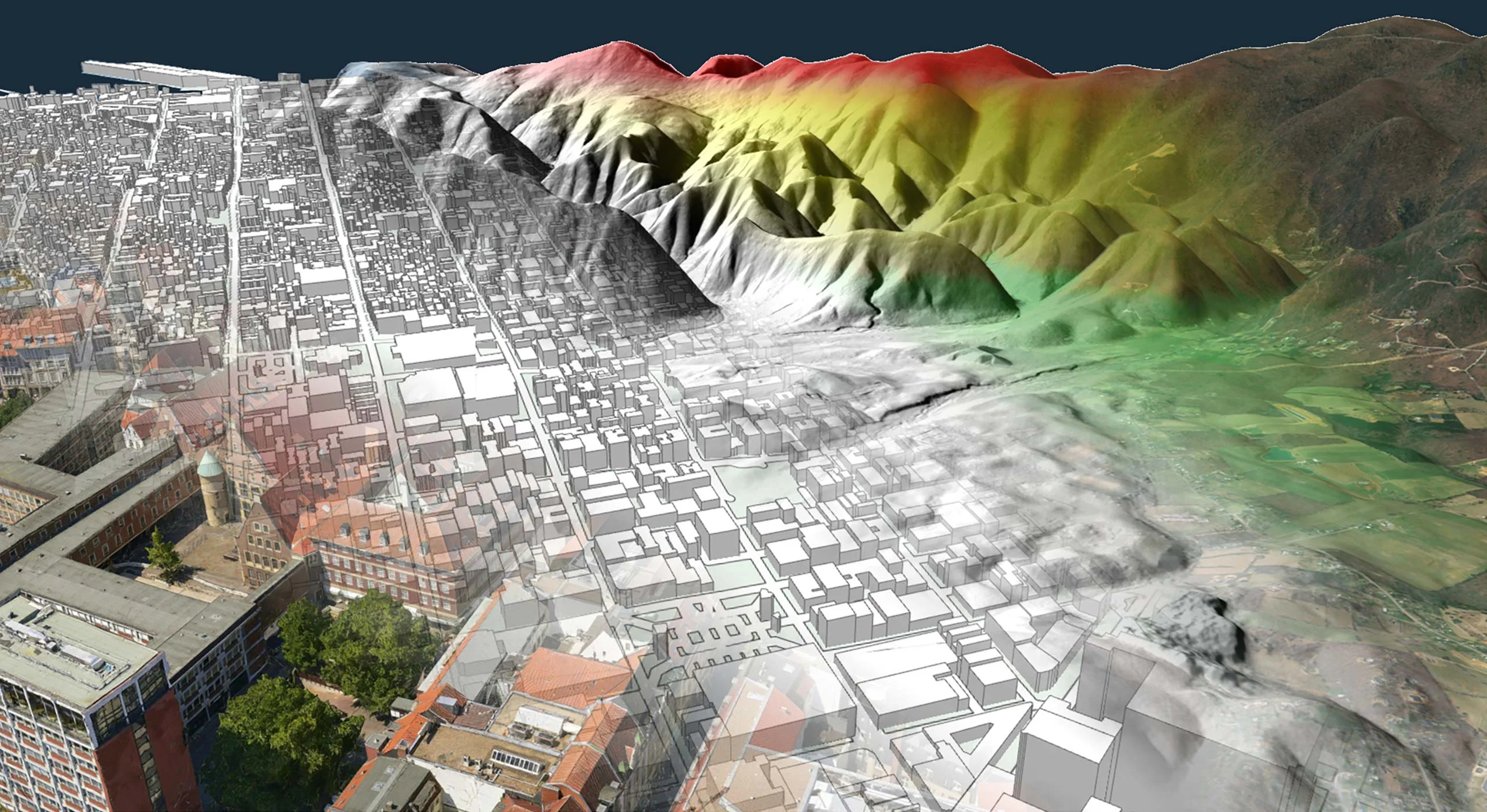

Carmenta Engine excels at handling live data. Create real-time visualizations by overlaying dynamic data – such as video streams and millions of radar plots – directly onto your maps.
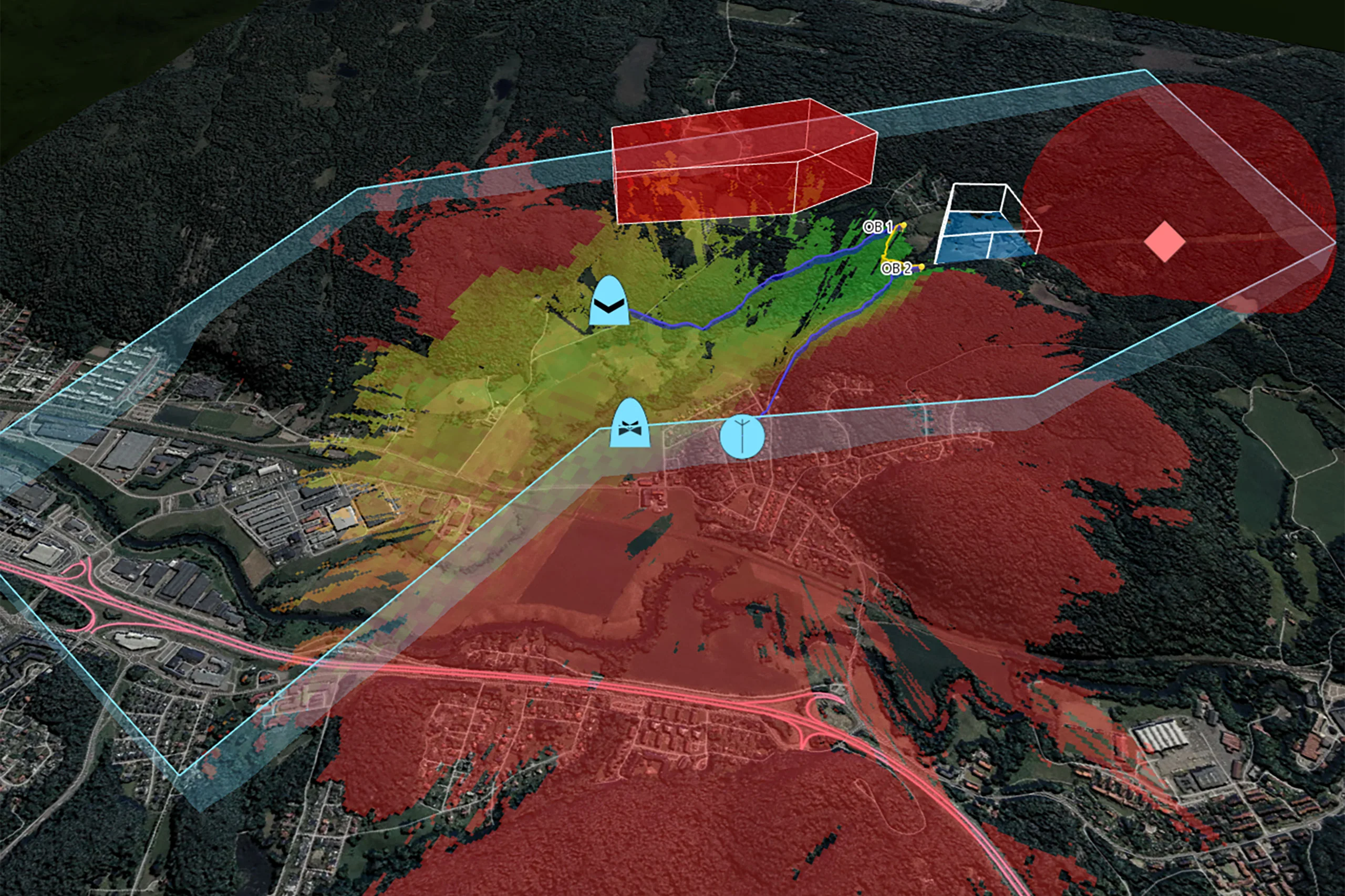
What’s more, our real-time geospatial analytics such as line-of-sight and terrain calculations can be driven by dynamic data to provide up-to-the-minute situational awareness.
Use the platform of your choice, get the same high performance everywhere. And we’ve made it as easy as possible to target several different platforms with a single code base.
No need for conversion. Unlimited support for combining different types of geospatial information from almost all GIS data sources.
Uses the graphics card to offload the CPU. Data is loaded and processed in background threads to avoid blocking the user interface.
You can plug in your own data readers, processing steps, visualization and interaction tools to complement the built-in features.
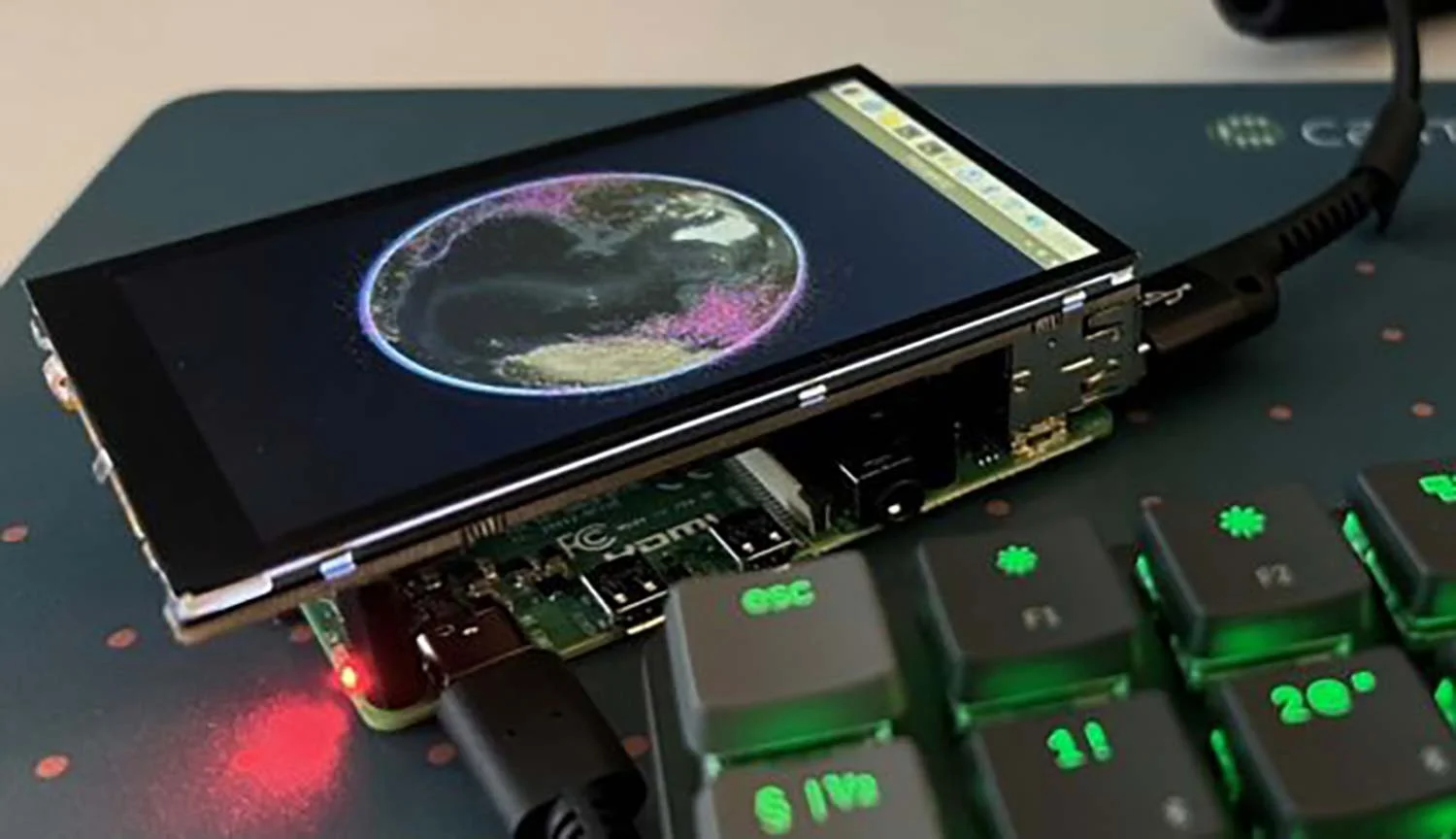
Carmenta Engine has been designed from the ground up to be seamlessly embedded into our customers’ applications and meet the demanding requirements of mission-critical solutions. It runs on everything from high-end desktop PCs to vehicle mounted systems and Android devices.
After more than twenty years of continuous service in aeronautical, nautical, and ground systems in some of the most demanding environments across the world, it has a proven record of reliability.
Carmenta Engine is designed to support your way of working. Built with an optimized C++ core, it lets you choose the programming language and graphical user interface that best suits your project and development style.
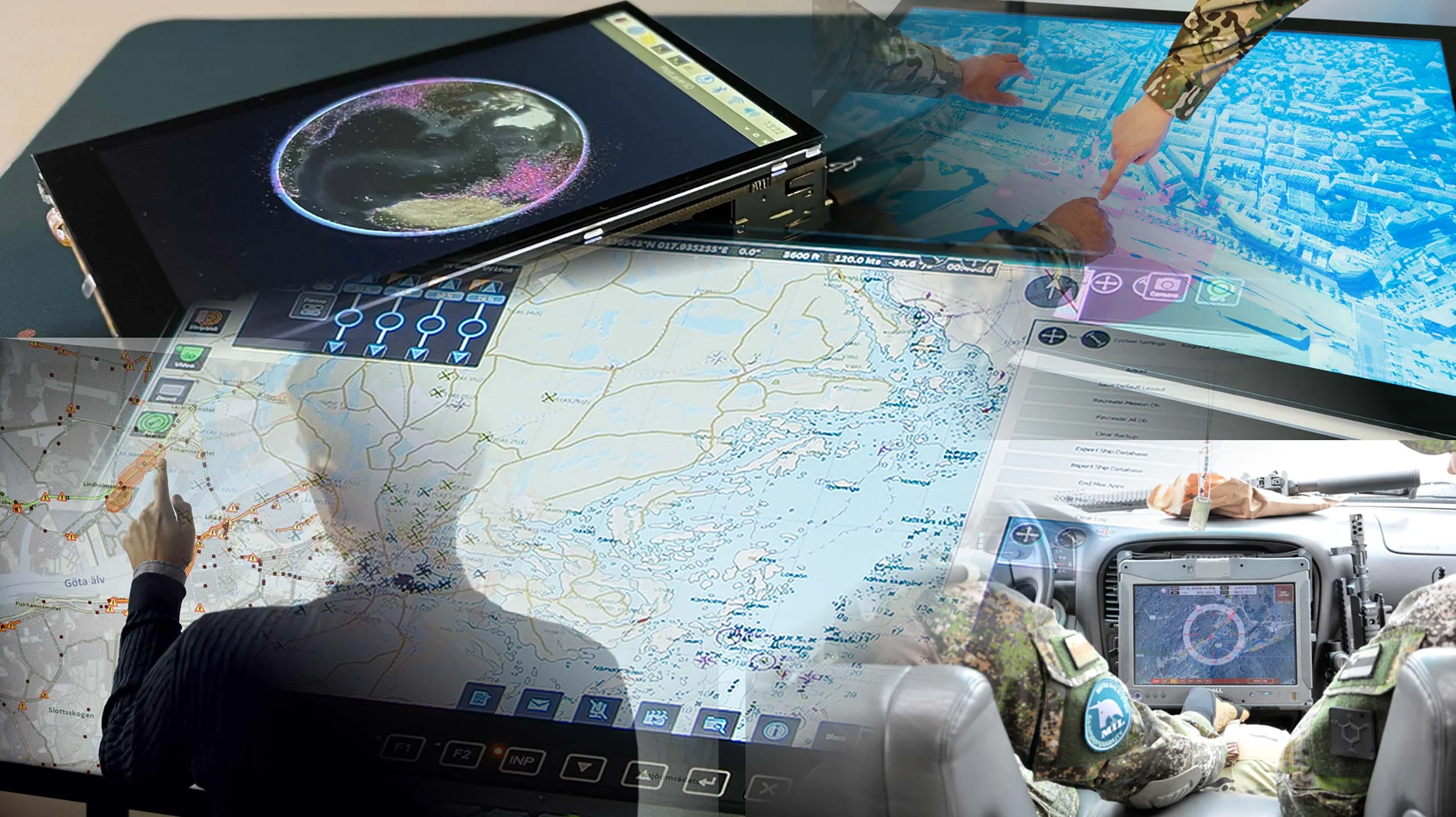
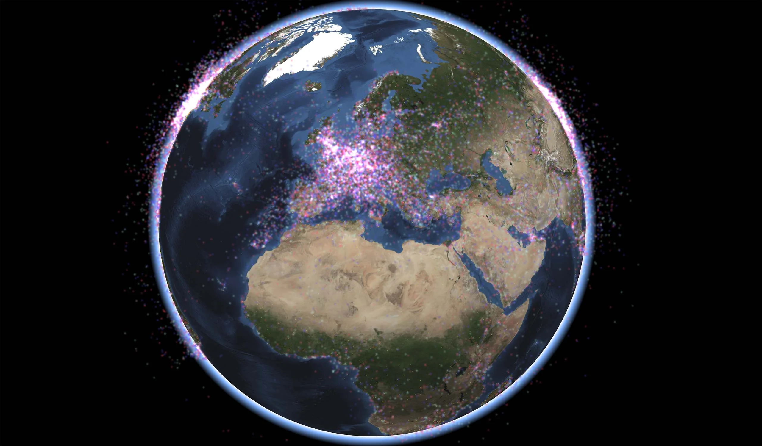
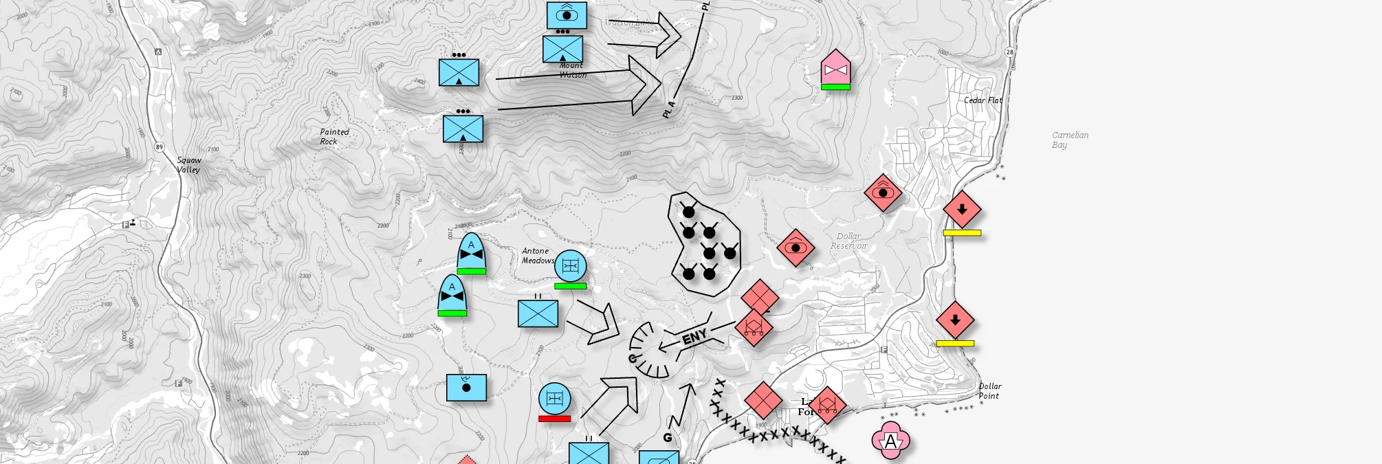
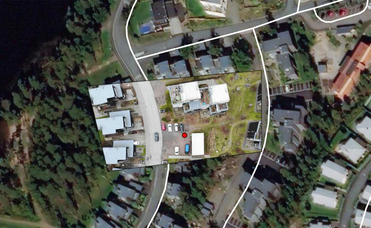
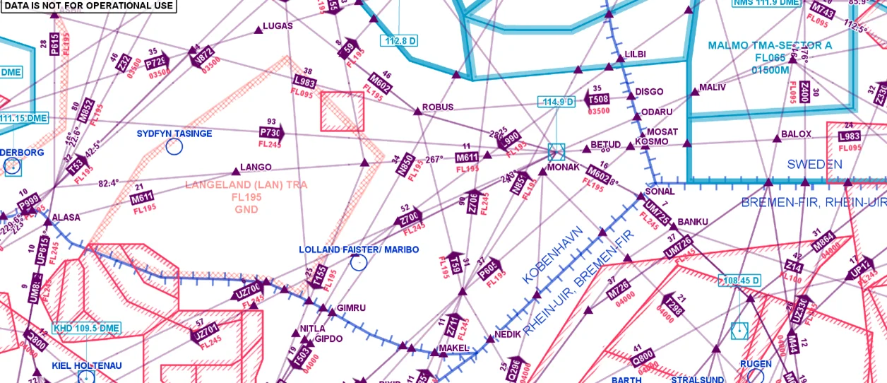
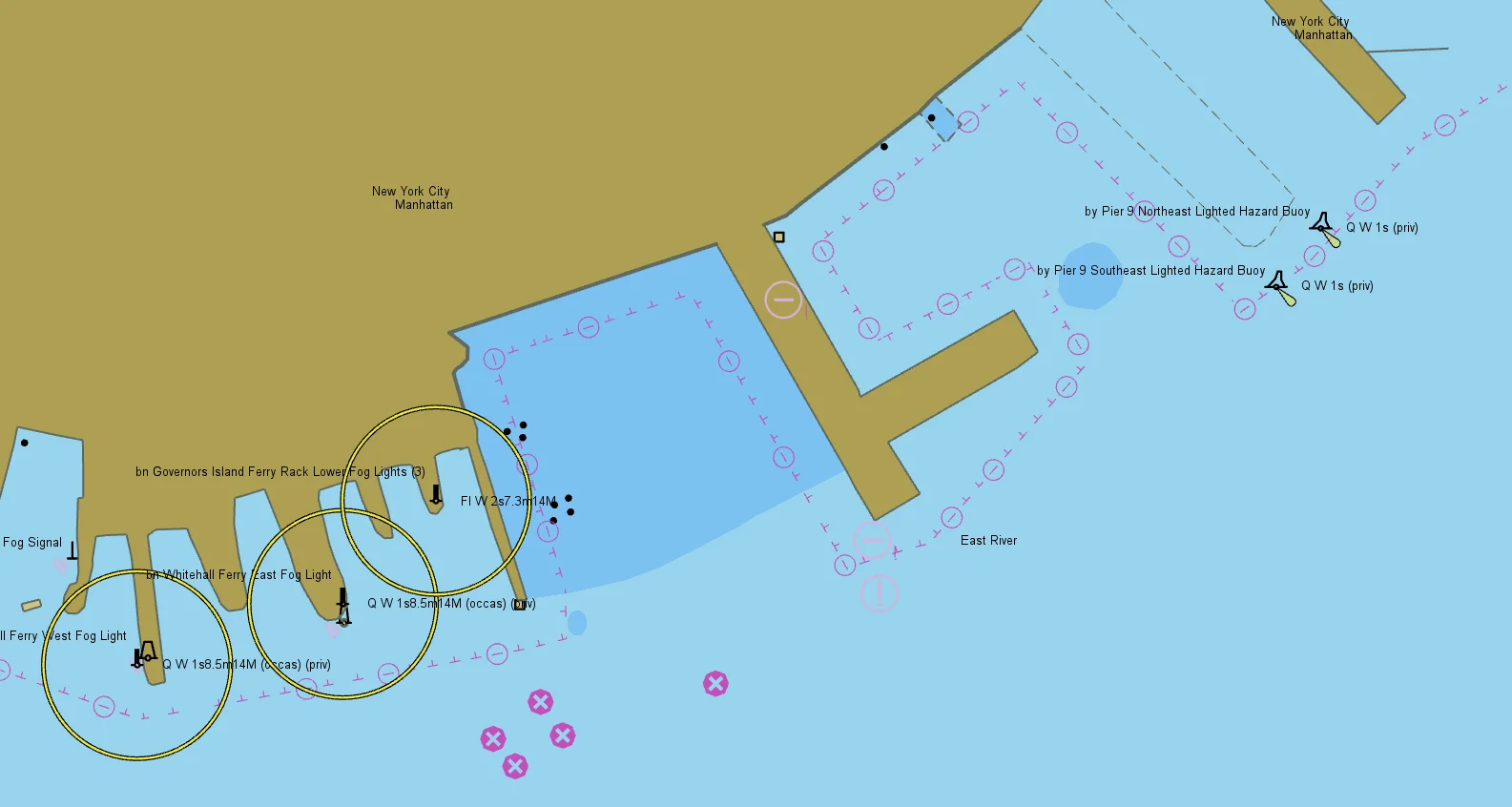
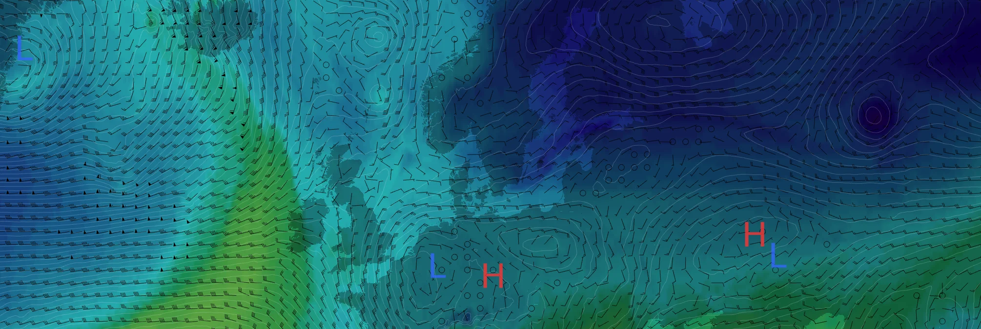
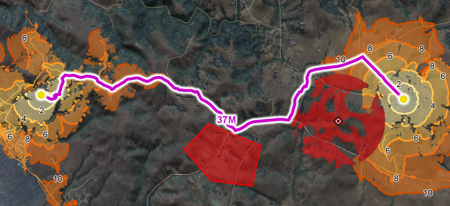
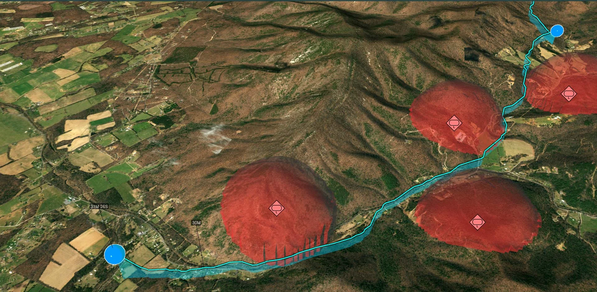
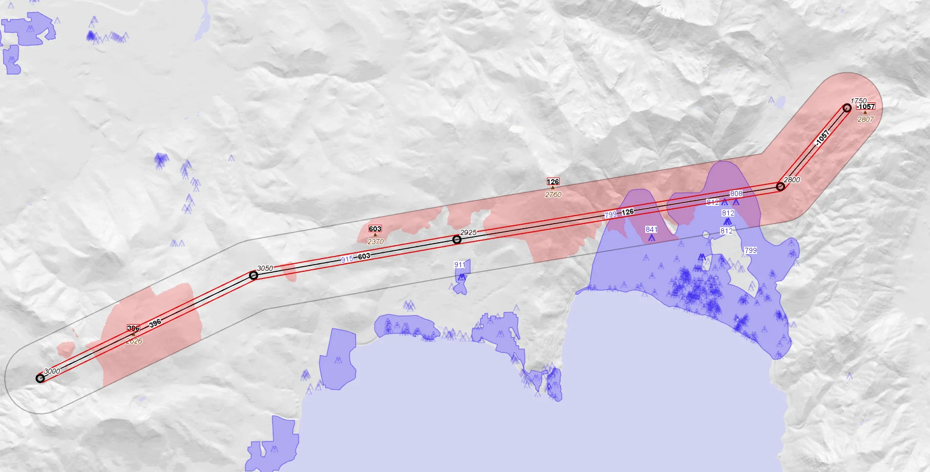
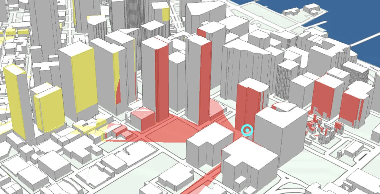
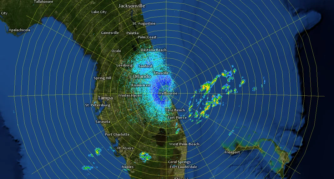
In addition to uncompromising reliability, Carmenta Engine is built for speed. Its advanced hardware accelerated rendering and data processing capabilities let you create stunning maps in no time. And the powerful visual editor Carmenta Studio (included in the SDK) makes building and editing maps as easy as dragging and dropping objects into a map configuration.
With Carmenta Engine, you can access your data wherever you want: locally or from a server in the cloud. We’re at the forefront of interoperability with support for publishing next generation OGC® API tile services built right into the SDK.
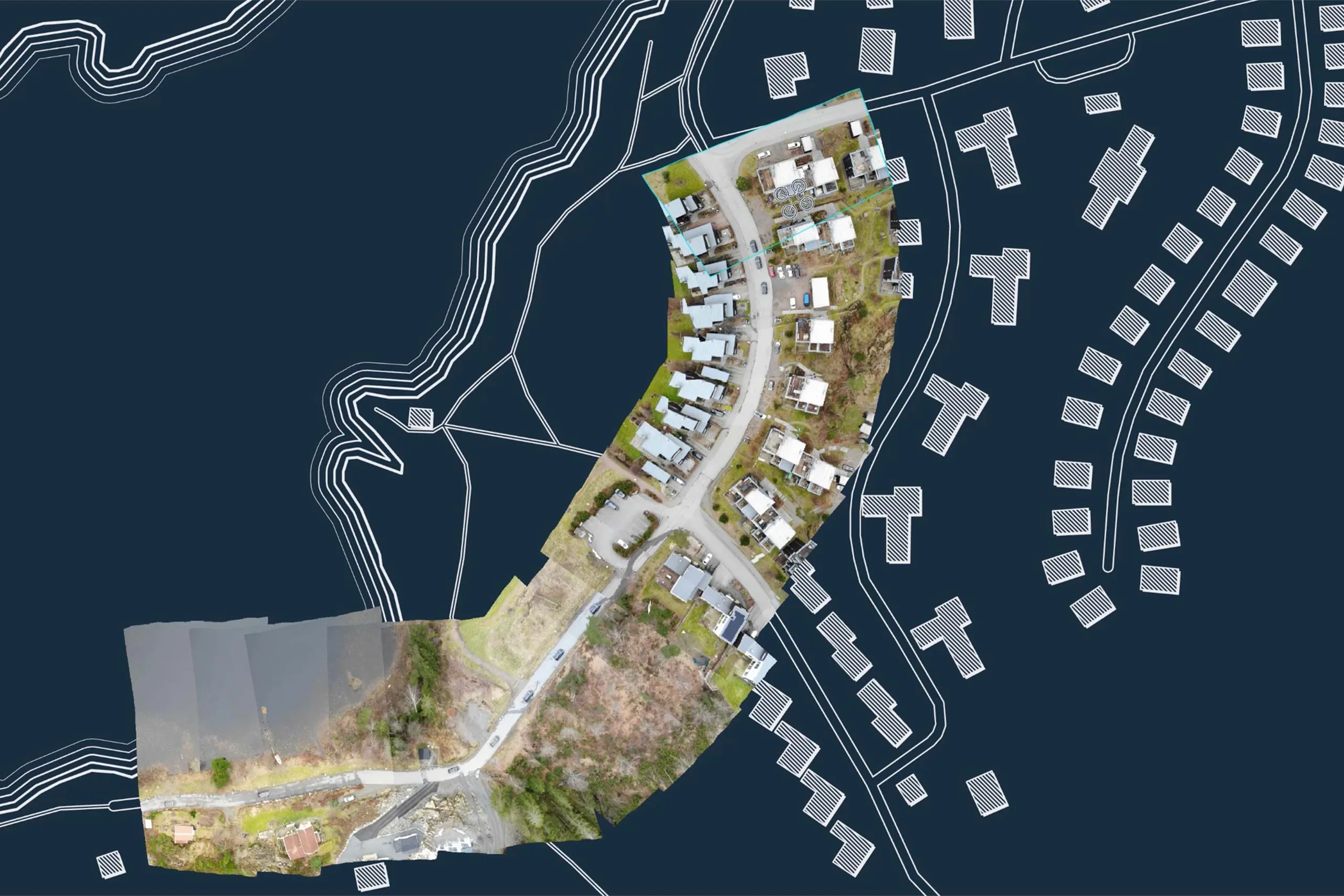
Carmenta Engine is a geospatial software development kit (SDK) for building applications that visualize, process and analyze geographic information in real time. It is designed for mission-critical systems in defense, public safety, uncrewed systems and other demanding environments where performance, reliability and flexibility are essential. Developers use Carmenta Engine to create custom applications for desktop, mobile and embedded platforms.
A geospatial SDK (Software Development Kit) provides developers with the tools, APIs and components needed to build applications that work with maps and geographic data. Rather than developing mapping, visualization and spatial analysis capabilities from scratch, developers can use a geospatial SDK to integrate advanced GIS functionality directly into their own software. Carmenta Engine is a geospatial SDK designed specifically for high-performance and mission-critical applications.
Traditional GIS software is typically used as a standalone application for mapping and analysis. Carmenta Engine is a software development kit that allows organizations to build and customize their own applications. Instead of adapting workflows to off-the-shelf software, developers can embed geospatial visualization and analysis directly into systems tailored to their operational needs.
A geospatial SDK allows developers to add mapping, visualization and spatial analysis capabilities to their applications without building them from scratch. This reduces development time, lowers risk and lets teams focus on their core functionality while leveraging proven geospatial technology.
Carmenta Engine supports deployment across multiple platforms, enabling organizations to develop and maintain applications for different operational environments. The SDK can be used for desktop, mobile and embedded applications, making it suitable for everything from command-and-control systems to field-deployed devices and vehicle-based solutions.
Yes. Carmenta Engine supports Windows, Linux and Android, allowing developers to create applications for multiple operating systems using a shared technology platform. This helps reduce development effort while maintaining consistent functionality and performance across different devices and environments.
Carmenta Engine provides APIs for C++, .NET, Java and Python. This allows development teams to work with the programming languages and frameworks that best fit their project requirements while taking advantage of the same high-performance geospatial core.
Carmenta Engine supports a range of user interface technologies, including .NET MAUI, WPF, Windows Forms, Qt, Qt Quick and Xamarin. This flexibility makes it easier to integrate advanced geospatial capabilities into both new and existing applications.
Carmenta Engine supports more than 100 GIS and geospatial data formats. This allows organizations to combine data from multiple sources without extensive conversion or preprocessing, helping developers build interoperable solutions that work with existing systems and datasets.
Yes. Carmenta Engine is specifically designed to be embedded into customers’ applications. Its architecture allows developers to integrate maps, visualization, geospatial analysis and custom functionality directly into existing software, creating a seamless user experience without relying on separate GIS applications.
Yes, the full Carmenta Engine documentation is available on docs.carmenta.com.
Leveraging an SDK does not only accelerate the development process and cut costs, it also increases application robustness and reliability.





Are you ready to see how our products can transform your work? Request a free trial today and explore the full potential of our geospatial technology.
Please specify which product/products you are interested in.
This form can be used to request a trial for: