Mission-critical mapping
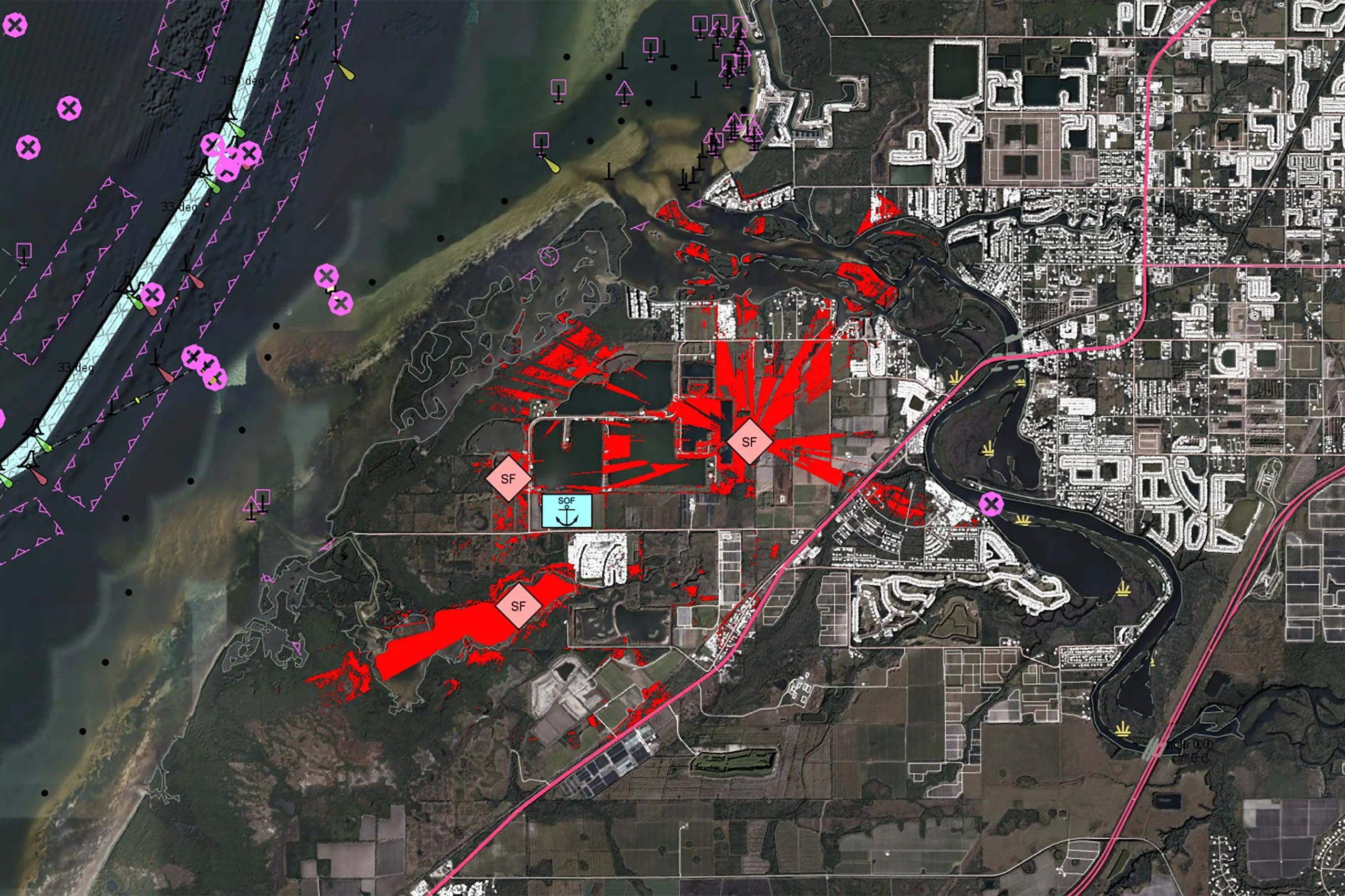
Geospatial technology that empowers you to see more, know more, and make better decisions – in real time.
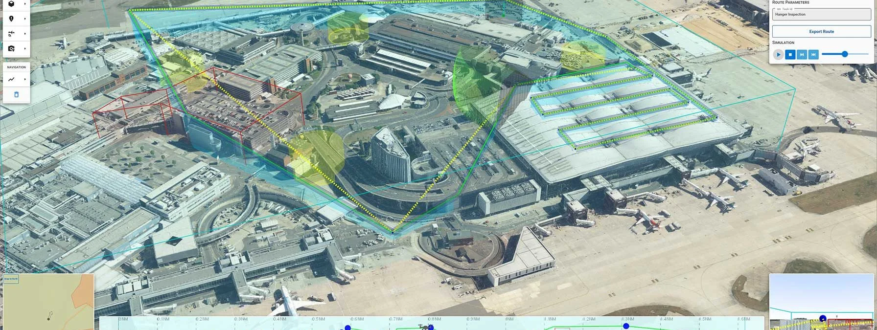
Our software development kit (SDK) offers the freedom and flexibility to create powerful geospatial applications to efficiently visualize and analyze geospatial information.
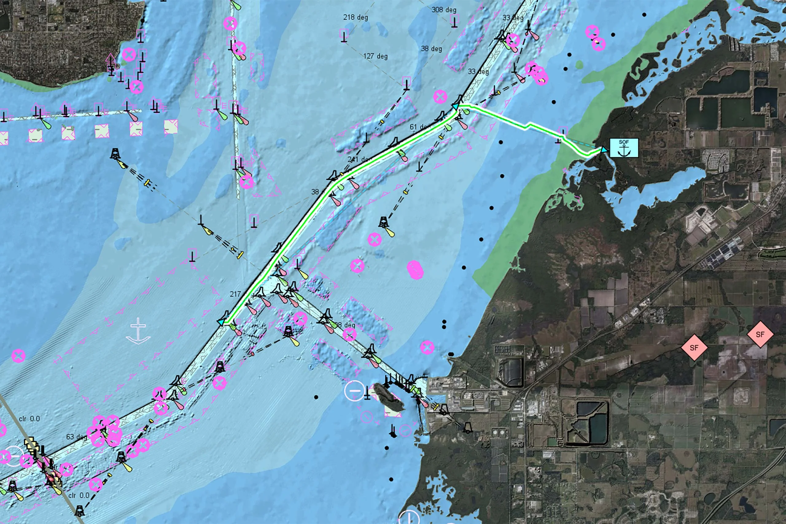
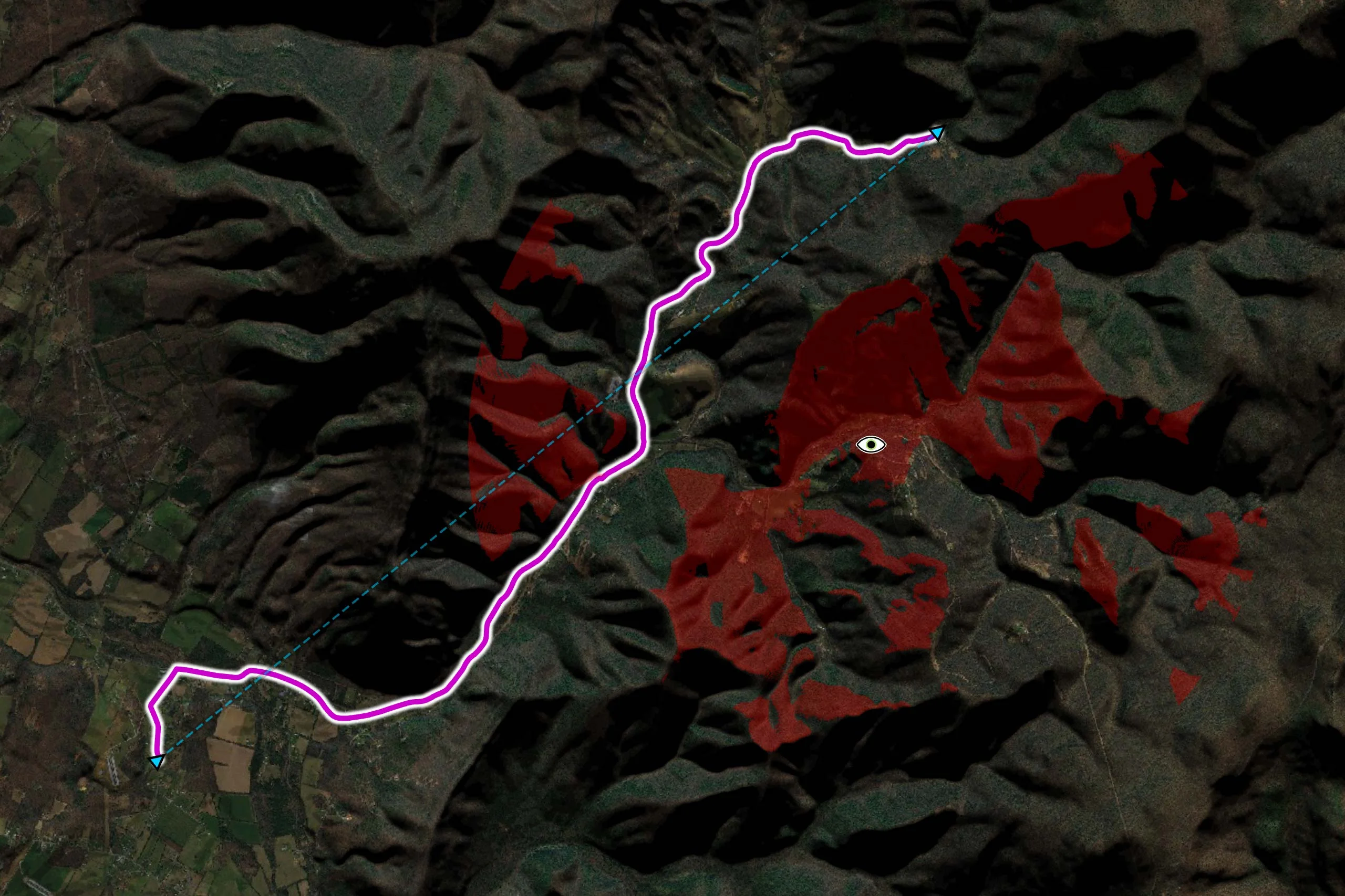
Whether you are developing solutions for air, sea, or land – Carmenta technology is deployed and trusted in systems across the world.
Deployed in some of the most demanding environments across the world.
Trusted and long-term partner to world-leading system integrators and system providers.
Unwavering dependability and cutting-edge analysis in our customers’ most critical systems and operations.
Outstanding flexibility with cross-platform support and support for 100+ data formats.
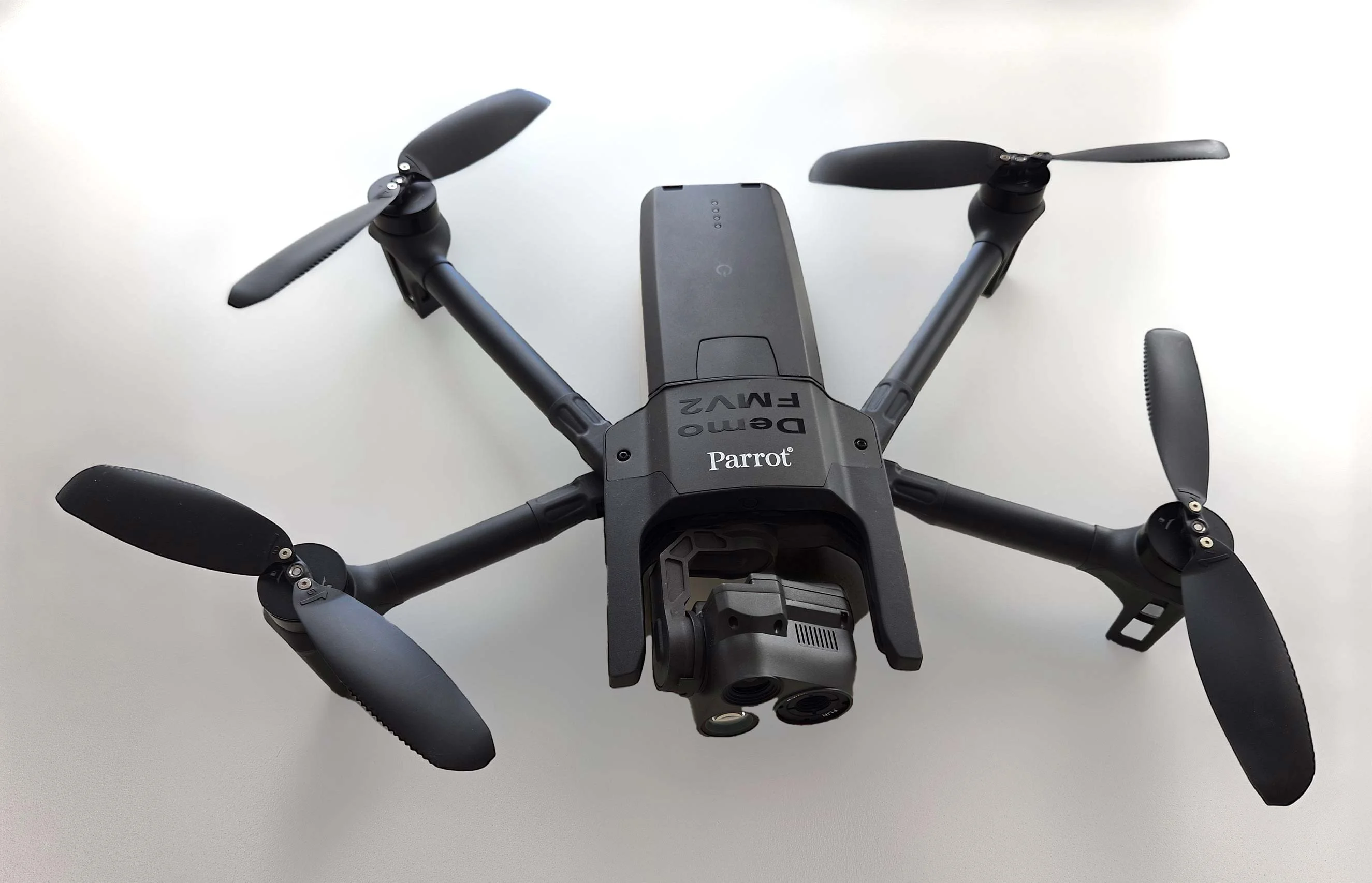
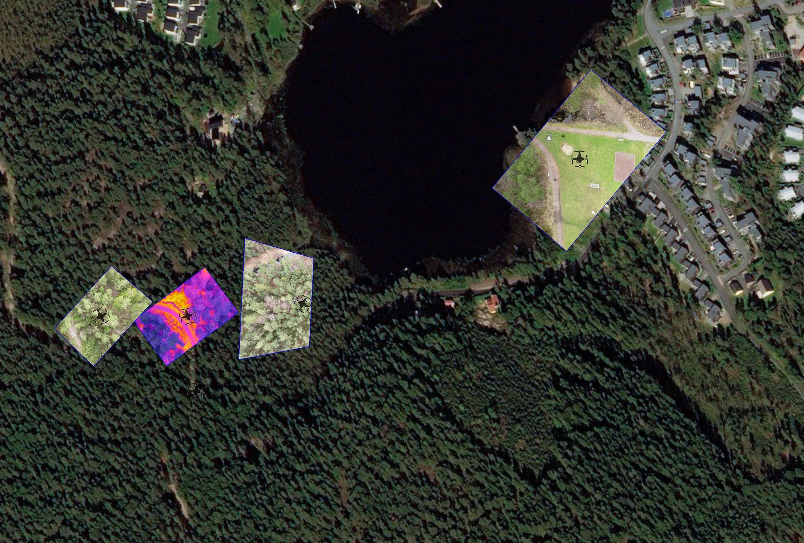
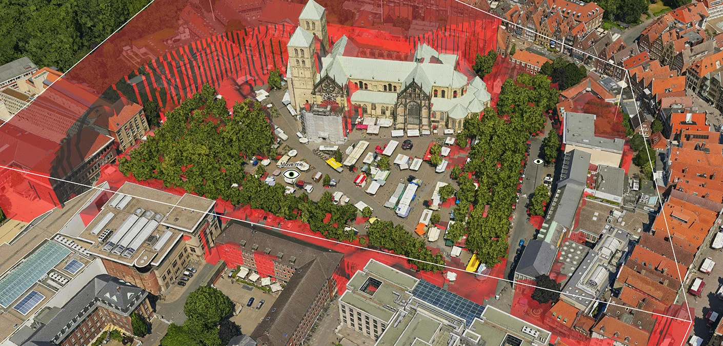
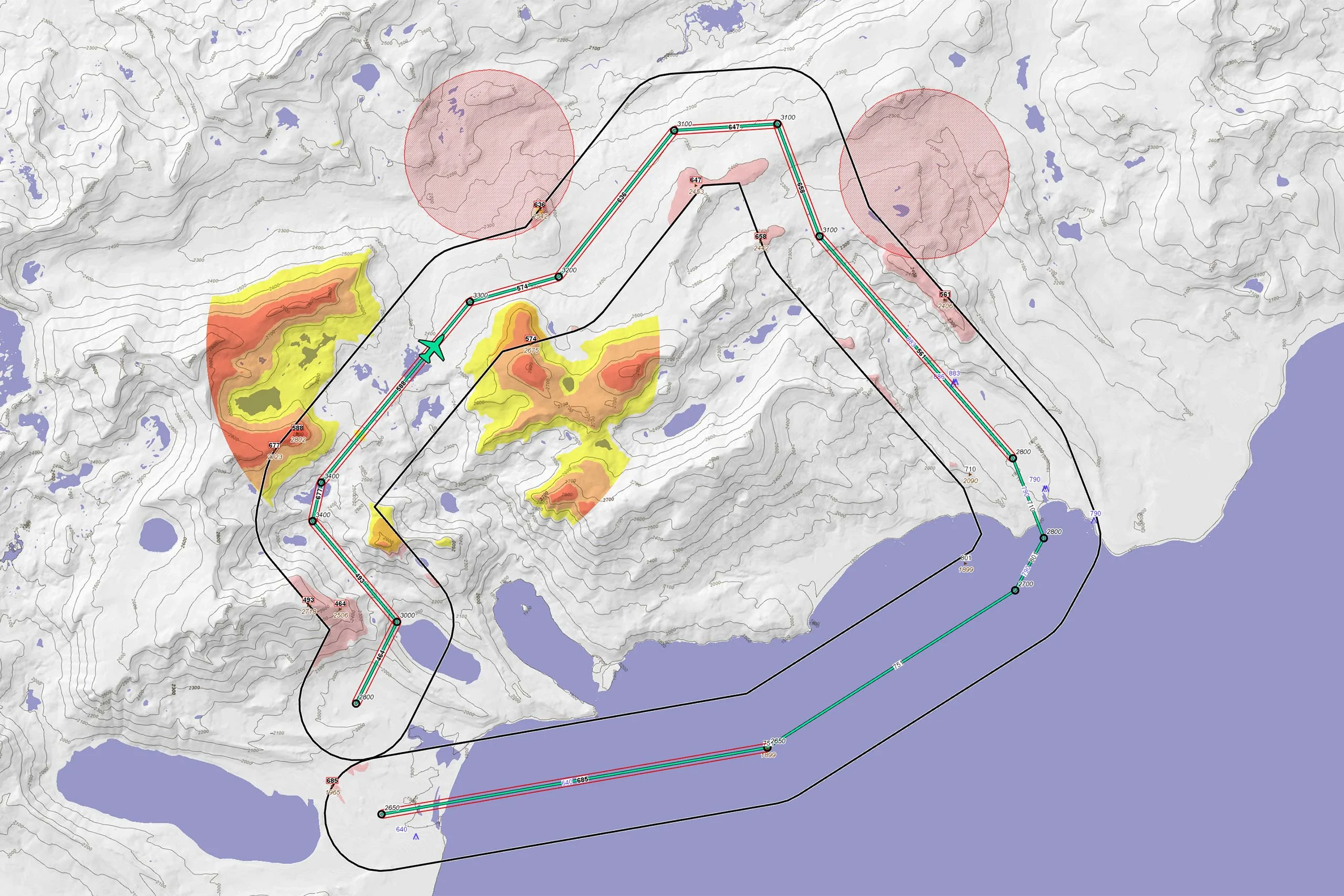
As part of Project Demo UCAV, Carmenta is proud to have participated in a drone exercise during Aurora 26, where its technology was used for UAS routing and mission planning.
Read more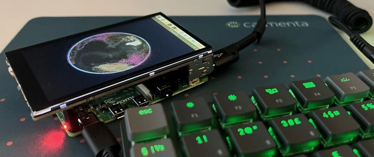
Build and deploy Carmenta Engine applications to Linux/ARM (Raspberry Pi) in C++, .NET Core, or Java, with sample setup and run instructions.
Read moreDENMARK: Explore how Carmenta's geospatial software can be used to support defense organisations with fast, reliable and high‑precision situational awareness.
Read more


Designed for web-based solutions, mobile apps and traditional applications.
Subscribe to our newsletter to receive:
Sign up today to get the latest geospatial technology updates and insights!
We’d love to hear from you! Whether you have questions, need support, or want to learn more about our solutions, our team is here to help.